
Skip to content

AI-native studio · software · remote sensing · 3D

What lies beneath the surface, we make visible.

AI-native software, remote sensing and 3D — in days, not months. And verified so thoroughly that you can trust the results.

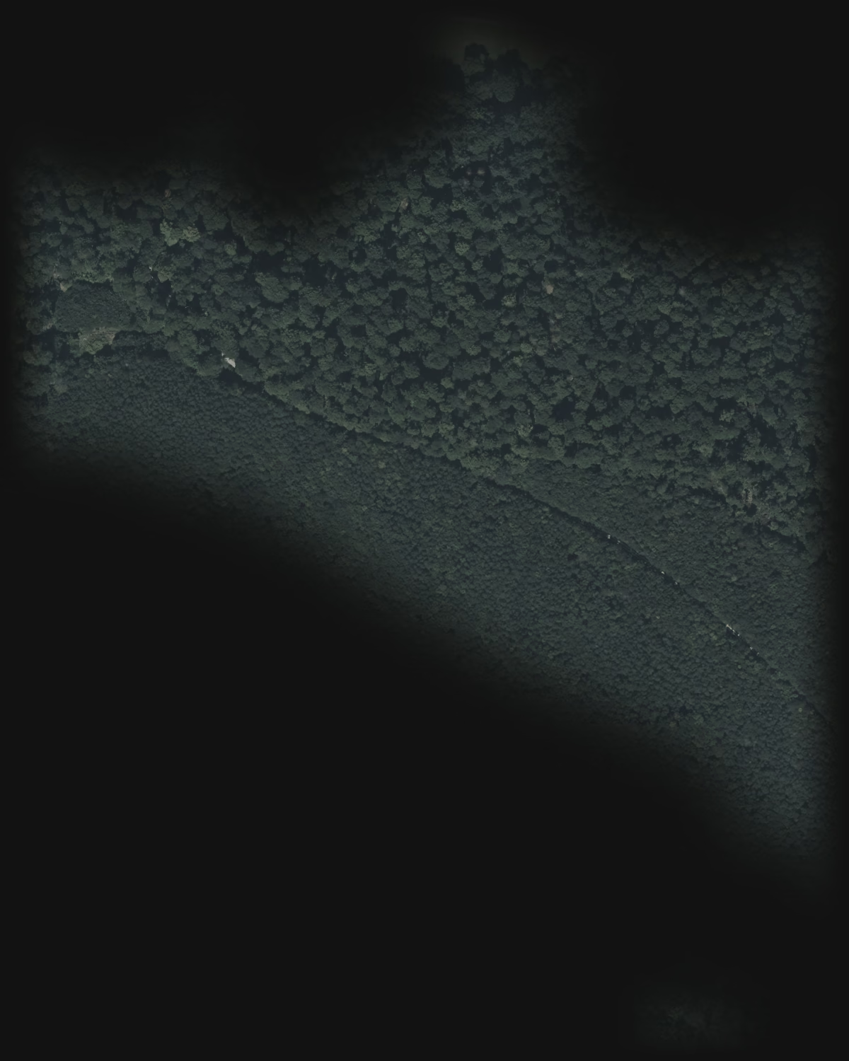
  1. 01 Funnel pits in the forest
  2. 02 Low round mound
  3. Invisible in the aerial image – the scan shows what lies beneath the forest.
from brief to finished analysis of more than 1,000 km² of satellite data

< 2 days

from brief to finished analysis of more than 1,000 km² of satellite data

Satellite data pilot 2026, anonymised

from paper form to inspection app in use

5 days

from paper form to inspection app in use

PPE inspection record, Aug/Sep 2026

on Google Germany for “aphantasie test” – our own test portal

#1

on Google Germany for “aphantasie test” – our own test portal

DataForSEO, market DE, 24 Sep 2026

talk “Context Before Pixels” on AI-assisted LiDAR prospection

CAA 2026

talk “Context Before Pixels” on AI-assisted LiDAR prospection

CAA Joint Chapter Meeting, Münster, 17 Sep 2026

01How we work

AI makes us fast. Verification makes us reliable.

AI projects rarely fail for lack of speed, but for lack of trust in the results. So we build in both from the start.

14,600 tiles · 12 min

Speed

Our pipeline screens around 14,600 image tiles in 12 minutes. By hand – at 20 seconds per tile – that would take about 10 working days.

Satellite data pilot 2026 · client and region anonymised

Blind · reasoned · cross-checked

Verification

Every hit has to pass a blind review: the reviewer knows neither location nor expectation. Every rejection is reasoned and cross-checked. What remains is a short, reasoned list instead of a long, unchecked one.

02Services

One way of working. Four fields.

AService

AI consulting & delivery

From idea to a working prototype on your data – in one week. Then you know, with numbers, whether delivery is worth it.

  • AI opportunity analysis: prioritised use cases with effort and benefit
  • AI sprint: working prototype in five days, measured blind
  • Delivery: workflows, agents, integration with your systems
  • AI audit: independently re-measure existing AI workflows
  1. Mon · Day 1

    Goal & data

    Sharpen the question, review data, define success

  2. Tue · Day 2

    Pipeline

    First end-to-end run on real data

  3. Wed · Day 3

    Results

    Study error patterns, refine

  4. Thu · Day 4

    Measurement

    Blind test against a sample

  5. Fri · Day 5

    Decision

    Handover, numbers, clear recommendation

BService

Remote sensing & geodata

We read landscapes: open LiDAR and satellite data become verified relief maps and reasoned candidate lists – for heritage, research and planning.

  • Terrain models from LiDAR point clouds, six verified relief views
  • AI screening of large areas with blind review and chain of evidence
  • Survey lists with reasons instead of hit lists
  • Web viewers for project partners, protected if needed
Six relief views of the same terrain: Hillshade
01 · Hillshade

CService

3D & visualisation

From wireframe to product image: visualisations, animations and explorable 3D worlds in the browser – rendered on our own pipeline.

  • Product images and animations from CAD or 3D data
  • Product staging: photography and 3D from one studio
  • Explainer and process animations
  • Interactive 3D experiences and reconstructions in the browser
How a product image is built: Wireframe
01 · Wireframe

DService

Web & software

Web apps and websites that load in under a second – accessible, bilingual, with tests that check every formula against reference values.

  • Custom web apps and business software
  • Company websites with Next.js
  • Accessibility to WCAG 2.2 AA
  • Care, monitoring, further development
Until content is visible (LCP)0 — 3 s
  • Aphantasie0.69 s

    Lighthouse desktop, 24 Sep 2026

  • Rechnerzentrale0.55 s

    Lighthouse desktop, 24 Sep 2026

  • headon.pro (alt)3.00 s

    Lighthouse mobile, 24 Sep 2026

03Work

Results, verifiable.

All work

< 2 days · > 1,000 km²

Satellite data pilot

From brief to prioritised list in under two days – AI screening, blind review and chain of evidence.

  • Satellite data
  • AI screening
  • Blind review

Client and region anonymised.

5 days

Digital PPE inspection record

A paper form for fall-protection equipment became an app: a QR code per device, guided inspection, signature and a PDF with an inspection badge.

  • Web-App
  • PWA
  • PDF

For an inspection company in Baden-Württemberg, Germany.

#1 for “aphantasie test”

Aphantasia

Test portal with eight scientific tests in five languages and a 3D experience in the browser. Our own product.

  • Next.js
  • 3D
  • Five languages

199 calculators · DE/EN

Rechnerzentrale

199 calculators for tax, benefits and everyday life – every formula tested against official reference values before it goes live.

  • Next.js
  • Golden master tests
  • PWA

04Working together

Start small, know fast.

See pricing
  1. 01

    Intro call

    30 minutes, free

    We honestly clarify whether AI solves your problem – even if the answer is “no”.

  2. 02

    Opportunity analysis

    One day, fixed price

    Prioritised use cases with effort, benefit and risks.

  3. 03

    AI sprint

    Five days, fixed price

    A working prototype on your data, measured against a sample.

  4. 04

    Delivery

    Quote after the sprint

    Integration, operation and further development – or a reasoned stop.

Which task costs you weeks today?

Tell us about it. We will tell you whether and how AI helps – with an honest assessment instead of a sales pitch.