

Method · Geodata & remote sensing · AI consulting
A woodland beneath the leaves
Method case: official laser scan data become a terrain model, six relief views become a short, reasoned candidate list – reviewed blind instead of believed blindly.
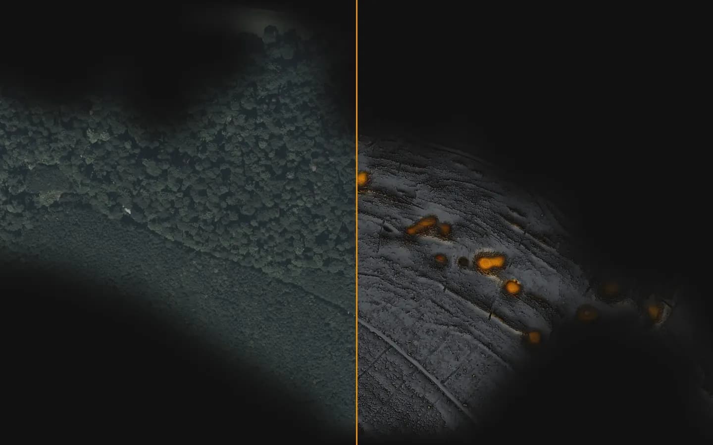
- verified relief views of the same terrain, each revealing different forms
6
verified relief views of the same terrain, each revealing different forms
LGL BW, dl-de/by-2.0, modified
- every candidate is reviewed without knowing the location; every rejection is reasoned and cross-checked
blind
every candidate is reviewed without knowing the location; every rejection is reasoned and cross-checked
- method presented publicly: talk “Context Before Pixels”
CAA 2026
method presented publicly: talk “Context Before Pixels”
CAA Joint Chapter Meeting, Münster, 17 Sep 2026
01Starting point
Under forest, landforms are invisible in aerial imagery. Laser scan data from the survey administration show the ground – but they are hard to read, and an AI that delivers unchecked hits produces long lists full of forest tracks and timber yards.
02Approach
- 01From the point cloud to the terrain model: vegetation drops away, the ground remains.
- 02Six relief views – hillshade, sky-view factor, local relief model, openness, local dominance, multi-scale relief – because each view highlights different forms.
- 03AI screening tile by tile; the AI suggests, it does not decide.
- 04Blind review: the reviewer knows neither location nor expectation. Cross-check against historical maps and aerial images.
- 05The result is a short, reasoned list with a recommendation for field inspection – never labelled a “find”.
03Outcome
The method was presented at the CAA Joint Chapter Meeting 2026 and is available as a service for heritage authorities and research. We deliberately do not show locations.
Data: LGL Baden-Württemberg, dl-de/by-2.0, modified. Without location details.
- LiDAR / DGM
- PDAL
- Python
- KI-Sichtung
- Blindprüfung
- GeoTIFF
A similar task on your desk?
In the intro call we tell you how we would approach it – and how quickly you would see results.