

Own product · Geodata & remote sensing · Web & software
Campingzeile
Where to go camping this weekend? Campsites and motorhome pitches from open geodata, ranked by weather, driving time, crowding and night – with map, bathing sites and water temperature. Our own product (in German).
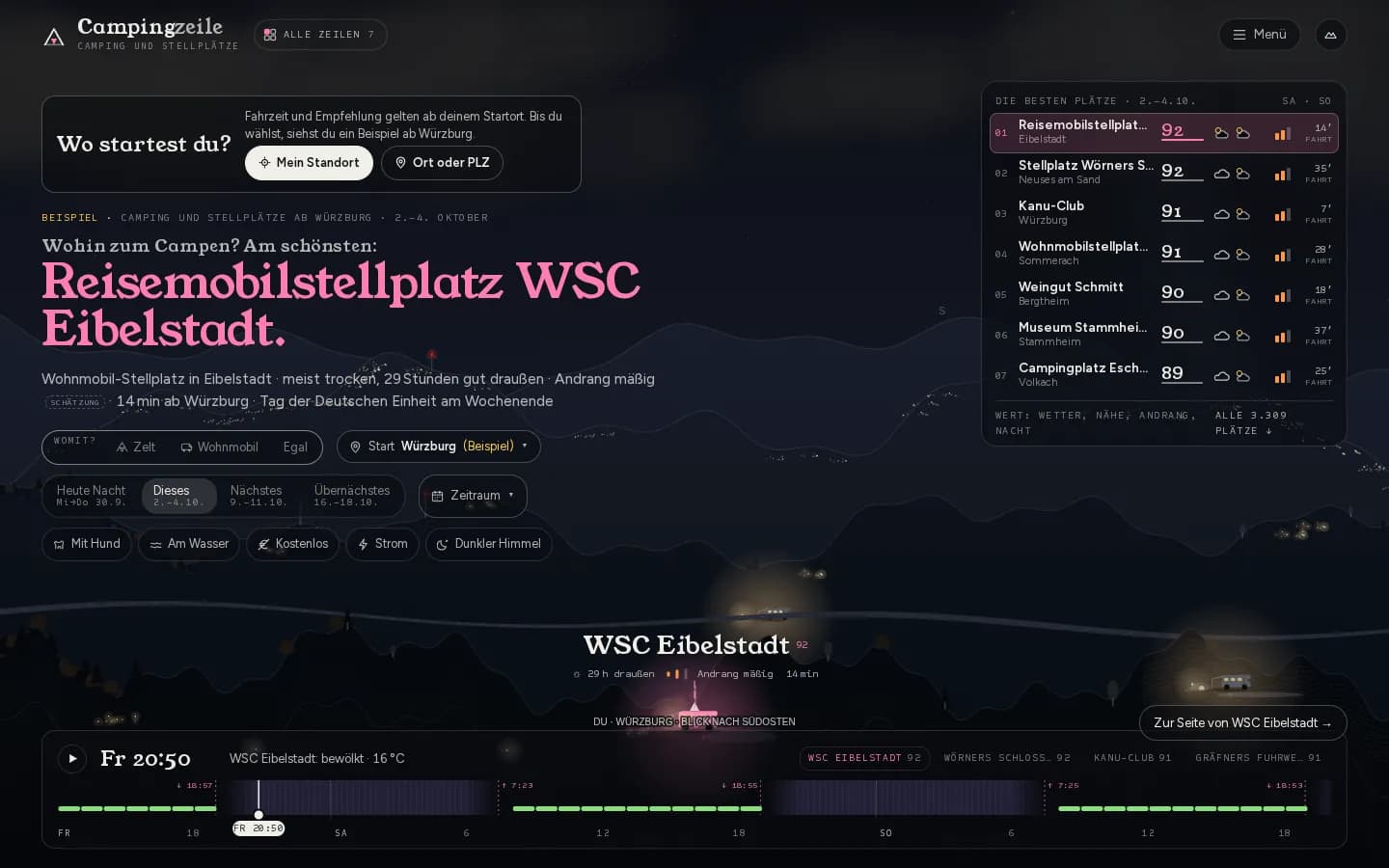
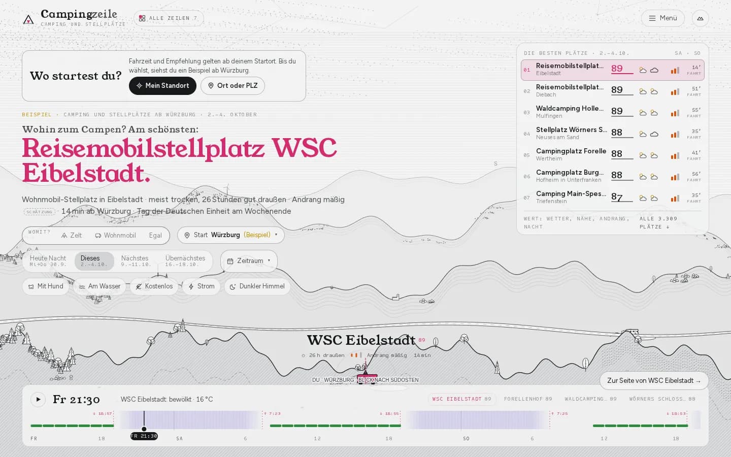
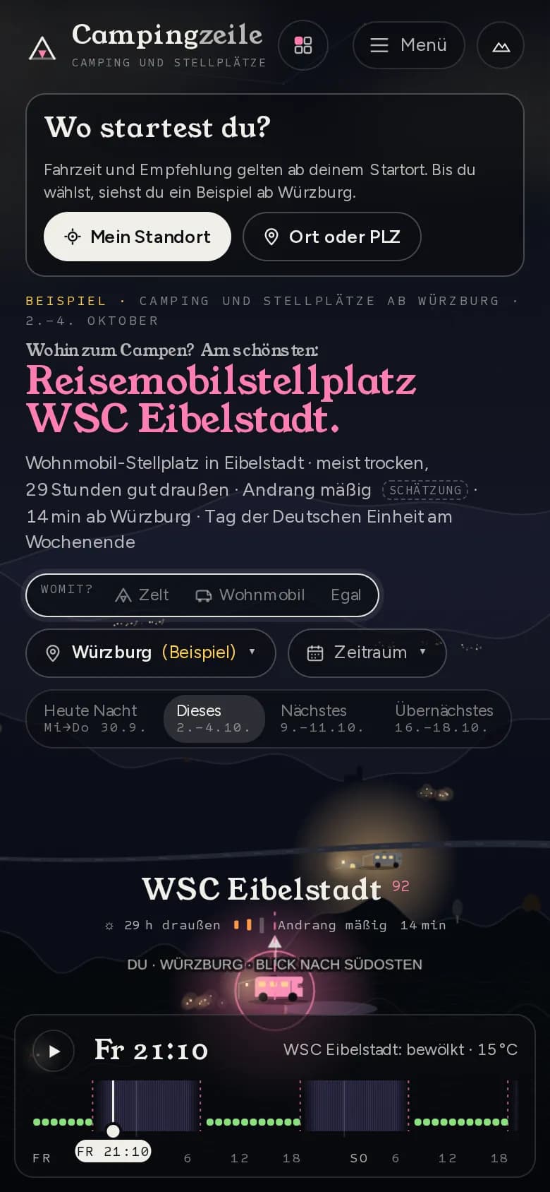
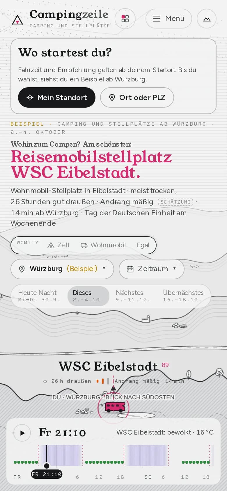
- campsites and motorhome pitches from OpenStreetMap, linked to DWD stations
7,764
campsites and motorhome pitches from OpenStreetMap, linked to DWD stations
OSM via Geofabrik, ODbL, as of 29 Sep 2026
- EU bathing sites with water quality
2,307
EU bathing sites with water quality
European Environment Agency, CC BY 4.0
- gauges for water temperature in rivers and lakes
641
gauges for water temperature in rivers and lakes
LfU Bavaria, WSV PEGELONLINE and others, as of 30 Sep 2026
01Starting point
The question before the weekend is not “Which campsite exists?” but “Where is it nicest if I leave now?”. The answer depends on weather, driving time, crowding and the night – and is in no directory.
02Approach
- 01Sites from OpenStreetMap, cleaned and linked to weather stations, bathing sites and gauges.
- 02A ranking for tonight and the coming weekends: weather, distance, crowding, darkness – estimated values clearly marked as estimates.
- 03Our own routing for driving times from the starting point, a map with filters (dog, water, free, power, dark sky).
- 04Severe weather warnings, waste disposal, a saved list; pages for every site, region, town and bathing site.
- 05Useful cross-links: Wetterzeile for the weather, Himmelszeile for the night.
03Outcome
Campingzeile is online at campingzeile.de and shows what happens when open geodata are not just put on a map but used to answer a question.
- Next.js
- TypeScript
- OpenStreetMap
- Eigenes Routing (OSRM)
- DWD
- Vitest
A similar task on your desk?
In the intro call we tell you how we would approach it – and how quickly you would see results.